Browse our content by category, state and city. Waterway Guide is the most detailed resource for boaters to find information on marinas, services, anchorages, bridges, locks, fuel prices, navigation alerts and more. Plan your voyage on the water today.
| Name/Title | Distance | Rating | |
|---|---|---|---|
| Orangedale - Shands Bridge | 4.46 miles |

/-81.6175,30.0058333333,15/200x80?access_token=pk.eyJ1Ijoid2F0ZXJ3YXlndWlkZSIsImEiOiJGRmM1RDdzIn0.Wya5yV5QEqbz0-fct8zyIA)
|
|
| Trout Creek | 4.68 miles |
/-81.5677833333,29.9797166667,15/200x80?access_token=pk.eyJ1Ijoid2F0ZXJ3YXlndWlkZSIsImEiOiJGRmM1RDdzIn0.Wya5yV5QEqbz0-fct8zyIA)
|
|
| Palmo Cove | 5.30 miles |
/-81.565999369,29.970629362,15/200x80?access_token=pk.eyJ1Ijoid2F0ZXJ3YXlndWlkZSIsImEiOiJGRmM1RDdzIn0.Wya5yV5QEqbz0-fct8zyIA)
|
|
| Six Mile Creek | 5.41 miles |
/-81.556053357861,29.968962974051,15/200x80?access_token=pk.eyJ1Ijoid2F0ZXJ3YXlndWlkZSIsImEiOiJGRmM1RDdzIn0.Wya5yV5QEqbz0-fct8zyIA)
|
|
| Bayard Point | 7.25 miles |
/-81.606054133,29.950062575,15/200x80?access_token=pk.eyJ1Ijoid2F0ZXJ3YXlndWlkZSIsImEiOiJGRmM1RDdzIn0.Wya5yV5QEqbz0-fct8zyIA)
|
|
| Julington Creek | 7.33 miles |
/-81.63695,30.13,15/200x80?access_token=pk.eyJ1Ijoid2F0ZXJ3YXlndWlkZSIsImEiOiJGRmM1RDdzIn0.Wya5yV5QEqbz0-fct8zyIA)
|
|
| Green Cove VFW | 7.80 miles |
/-81.672139752,29.989097314,15/200x80?access_token=pk.eyJ1Ijoid2F0ZXJ3YXlndWlkZSIsImEiOiJGRmM1RDdzIn0.Wya5yV5QEqbz0-fct8zyIA)
|
|
| Old Bull Bay | 8.06 miles |
/-81.656666666667,30.128883333333,15/200x80?access_token=pk.eyJ1Ijoid2F0ZXJ3YXlndWlkZSIsImEiOiJGRmM1RDdzIn0.Wya5yV5QEqbz0-fct8zyIA)
|
|
| Governors Creek | 8.17 miles |
/-81.69,30.01,15/200x80?access_token=pk.eyJ1Ijoid2F0ZXJ3YXlndWlkZSIsImEiOiJGRmM1RDdzIn0.Wya5yV5QEqbz0-fct8zyIA)
|
|
| Bayard Point Cove (South) | 9.75 miles |
/-81.618883333333,29.91555,15/200x80?access_token=pk.eyJ1Ijoid2F0ZXJ3YXlndWlkZSIsImEiOiJGRmM1RDdzIn0.Wya5yV5QEqbz0-fct8zyIA)
|
|
| Black Creek | 9.86 miles |
/-81.725,30.05555,15/200x80?access_token=pk.eyJ1Ijoid2F0ZXJ3YXlndWlkZSIsImEiOiJGRmM1RDdzIn0.Wya5yV5QEqbz0-fct8zyIA)
|
Find other nearby Anchorages & Free Docks in Florida
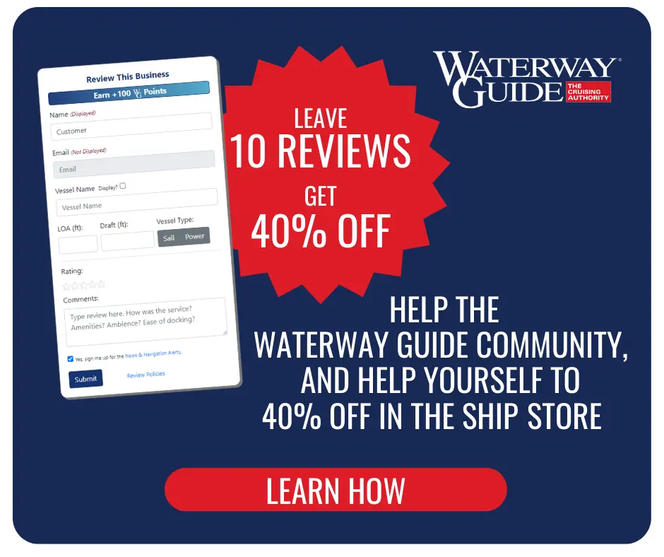
Reviewing Marinas, Basins, Dockage, Locks, Navigation Alerts & Fuel Stops is easy. Interacting with the Waterway Guide community will earn points that can qualify you for rewards and free guide content.
Happy Cruising! ![]() Points
Points