Browse our content by category, state and city. Waterway Guide is the most detailed resource for boaters to find information on marinas, services, anchorages, bridges, locks, fuel prices, navigation alerts and more. Plan your voyage on the water today.
| Name/Title | Distance | Rating | |
|---|---|---|---|
| Smith Creek Cove | 1.10 miles |

/-76.416292685818,38.123211381348,15/200x80?access_token=pk.eyJ1Ijoid2F0ZXJ3YXlndWlkZSIsImEiOiJGRmM1RDdzIn0.Wya5yV5QEqbz0-fct8zyIA)
|
|
| Jutland Creek–Fox Harbor | 1.15 miles |
/-76.389811635017,38.121251434606,15/200x80?access_token=pk.eyJ1Ijoid2F0ZXJ3YXlndWlkZSIsImEiOiJGRmM1RDdzIn0.Wya5yV5QEqbz0-fct8zyIA)
|
|
| Point No Point - St. Jerome Creek | 3.05 miles |
/-76.349153862442,38.11014901532,15/200x80?access_token=pk.eyJ1Ijoid2F0ZXJ3YXlndWlkZSIsImEiOiJGRmM1RDdzIn0.Wya5yV5QEqbz0-fct8zyIA)
|
|
| St. Inigoes Creek - St. Marys River | 3.90 miles |
/-76.4222166667,38.1647166667,15/200x80?access_token=pk.eyJ1Ijoid2F0ZXJ3YXlndWlkZSIsImEiOiJGRmM1RDdzIn0.Wya5yV5QEqbz0-fct8zyIA)
|
|
| Price Cove - St. Marys River | 4.22 miles |
/-76.473405361176,38.139197825873,15/200x80?access_token=pk.eyJ1Ijoid2F0ZXJ3YXlndWlkZSIsImEiOiJGRmM1RDdzIn0.Wya5yV5QEqbz0-fct8zyIA)
|
|
| Carthegena Creek - St. Marys River | 4.66 miles |
/-76.468616666667,38.155283333333,15/200x80?access_token=pk.eyJ1Ijoid2F0ZXJ3YXlndWlkZSIsImEiOiJGRmM1RDdzIn0.Wya5yV5QEqbz0-fct8zyIA)
|
|
| St. George Island | 4.71 miles |
/-76.486794948578,38.132649360155,15/200x80?access_token=pk.eyJ1Ijoid2F0ZXJ3YXlndWlkZSIsImEiOiJGRmM1RDdzIn0.Wya5yV5QEqbz0-fct8zyIA)
|
|
| Cornfield Harbor | 5.53 miles |
/-76.335501330242,38.051580271522,15/200x80?access_token=pk.eyJ1Ijoid2F0ZXJ3YXlndWlkZSIsImEiOiJGRmM1RDdzIn0.Wya5yV5QEqbz0-fct8zyIA)
|
|
| Point Lookout Creek - Lake Conoy | 5.64 miles |
/-76.328175566611,38.055119897913,15/200x80?access_token=pk.eyJ1Ijoid2F0ZXJ3YXlndWlkZSIsImEiOiJGRmM1RDdzIn0.Wya5yV5QEqbz0-fct8zyIA)
|
|
| Horseshoe Bend - St. Marys River | 5.74 miles |
/-76.43305,38.19,15/200x80?access_token=pk.eyJ1Ijoid2F0ZXJ3YXlndWlkZSIsImEiOiJGRmM1RDdzIn0.Wya5yV5QEqbz0-fct8zyIA)
|
|
| Horseshoe Bend - Pagan Point | 6.03 miles |
/-76.445809567,38.191071517,15/200x80?access_token=pk.eyJ1Ijoid2F0ZXJ3YXlndWlkZSIsImEiOiJGRmM1RDdzIn0.Wya5yV5QEqbz0-fct8zyIA)
|
|
| Morgan Point - St. George Creek | 6.74 miles |
/-76.51195,38.15945,15/200x80?access_token=pk.eyJ1Ijoid2F0ZXJ3YXlndWlkZSIsImEiOiJGRmM1RDdzIn0.Wya5yV5QEqbz0-fct8zyIA)
|
|
| Kingscote Creek | 8.56 miles |
/-76.474332791313,37.998490899115,15/200x80?access_token=pk.eyJ1Ijoid2F0ZXJ3YXlndWlkZSIsImEiOiJGRmM1RDdzIn0.Wya5yV5QEqbz0-fct8zyIA)
|
|
| Herring Creek | 8.61 miles |
/-76.539166666667,38.176333333333,15/200x80?access_token=pk.eyJ1Ijoid2F0ZXJ3YXlndWlkZSIsImEiOiJGRmM1RDdzIn0.Wya5yV5QEqbz0-fct8zyIA)
|
|
| Coan River - Walnut Point | 9.26 miles |
/-76.462216666667,37.983616666667,15/200x80?access_token=pk.eyJ1Ijoid2F0ZXJ3YXlndWlkZSIsImEiOiJGRmM1RDdzIn0.Wya5yV5QEqbz0-fct8zyIA)
|
|
| North Yeocomico River - Shannon Branch | 9.38 miles |
/-76.558227871,38.047302248,15/200x80?access_token=pk.eyJ1Ijoid2F0ZXJ3YXlndWlkZSIsImEiOiJGRmM1RDdzIn0.Wya5yV5QEqbz0-fct8zyIA)
|
|
| Coan River - The Glebe | 9.56 miles |
/-76.487333333333,37.9875,15/200x80?access_token=pk.eyJ1Ijoid2F0ZXJ3YXlndWlkZSIsImEiOiJGRmM1RDdzIn0.Wya5yV5QEqbz0-fct8zyIA)
|
|
| South Yeocomico River - Palmer Cove | 9.82 miles |
/-76.534634744,38.010675627,15/200x80?access_token=pk.eyJ1Ijoid2F0ZXJ3YXlndWlkZSIsImEiOiJGRmM1RDdzIn0.Wya5yV5QEqbz0-fct8zyIA)
|
Find other nearby Anchorages & Free Docks in Maryland
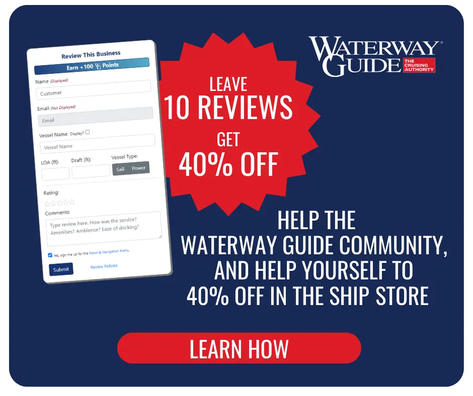
Reviewing Marinas, Basins, Dockage, Locks, Navigation Alerts & Fuel Stops is easy. Interacting with the Waterway Guide community will earn points that can qualify you for rewards and free guide content.
Happy Cruising! ![]() Points
Points